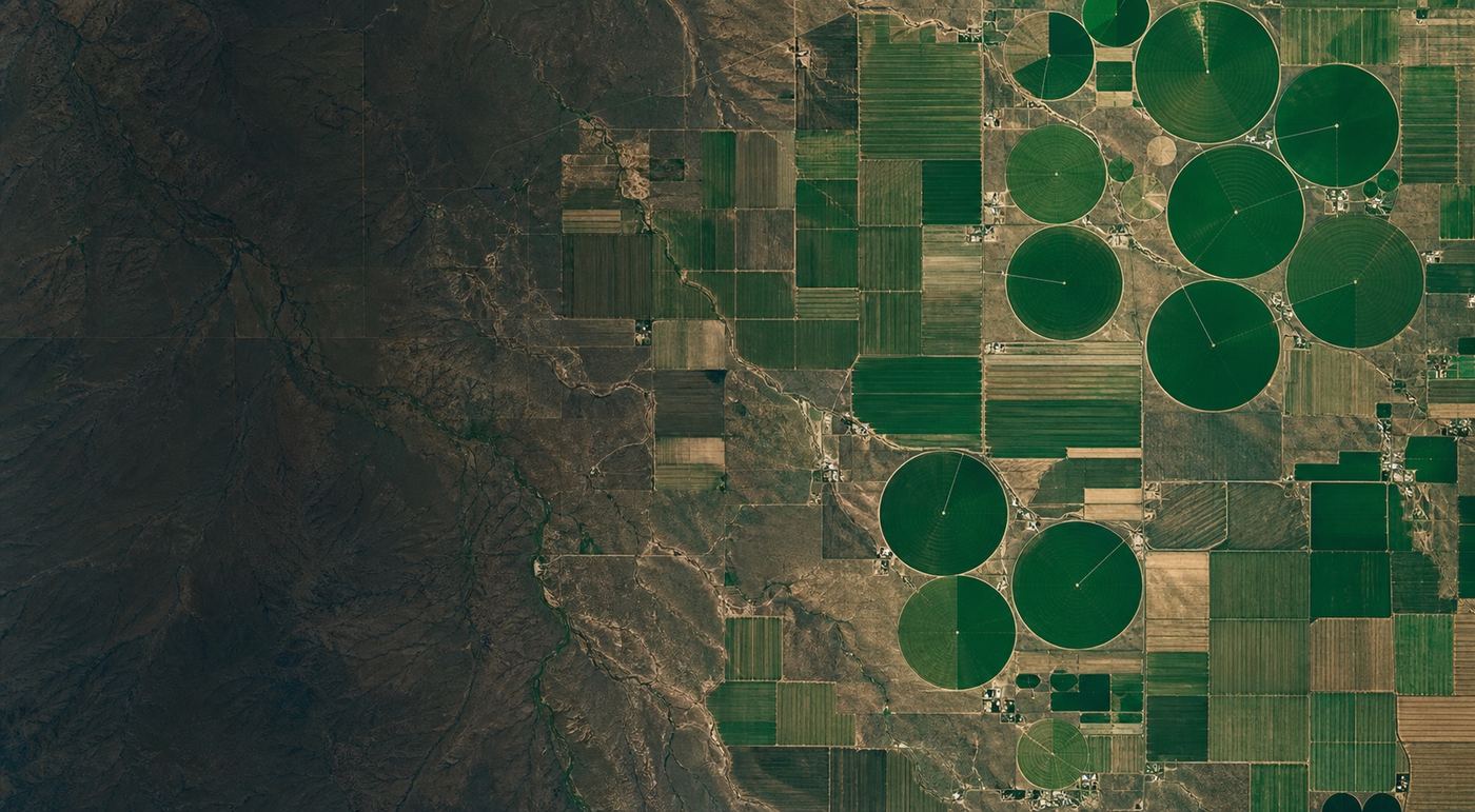
Scouting Prep Brief
Sample · Jasper County, IA
 Public satellite · source & date noted
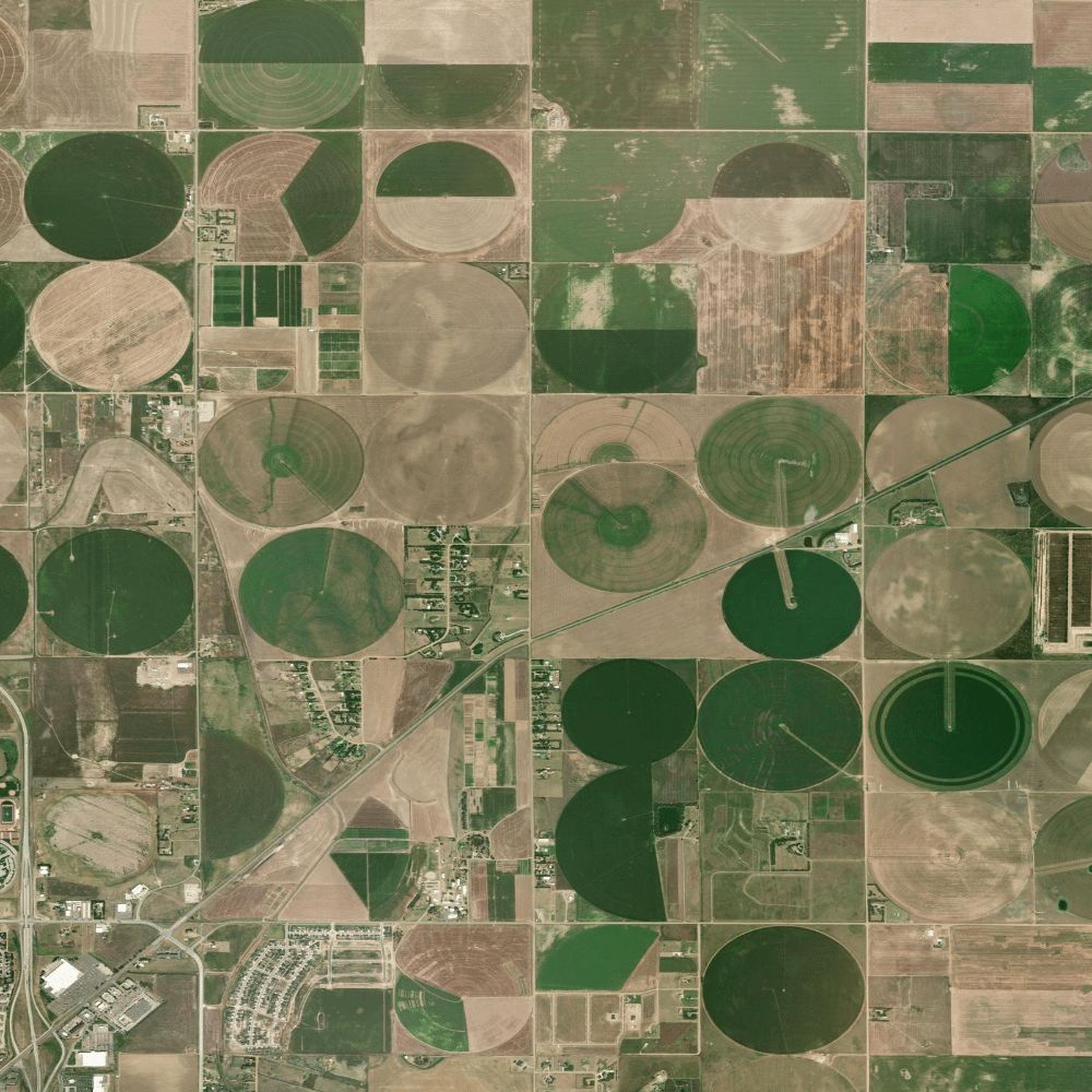
01
Zones worth checking first
Where the imagery shows visible variability across the field.
02
Visible variability context
What looks different from above — and where.
03
Access for the route
How to reach the zones you want to check.
Field prep · Source / date noted